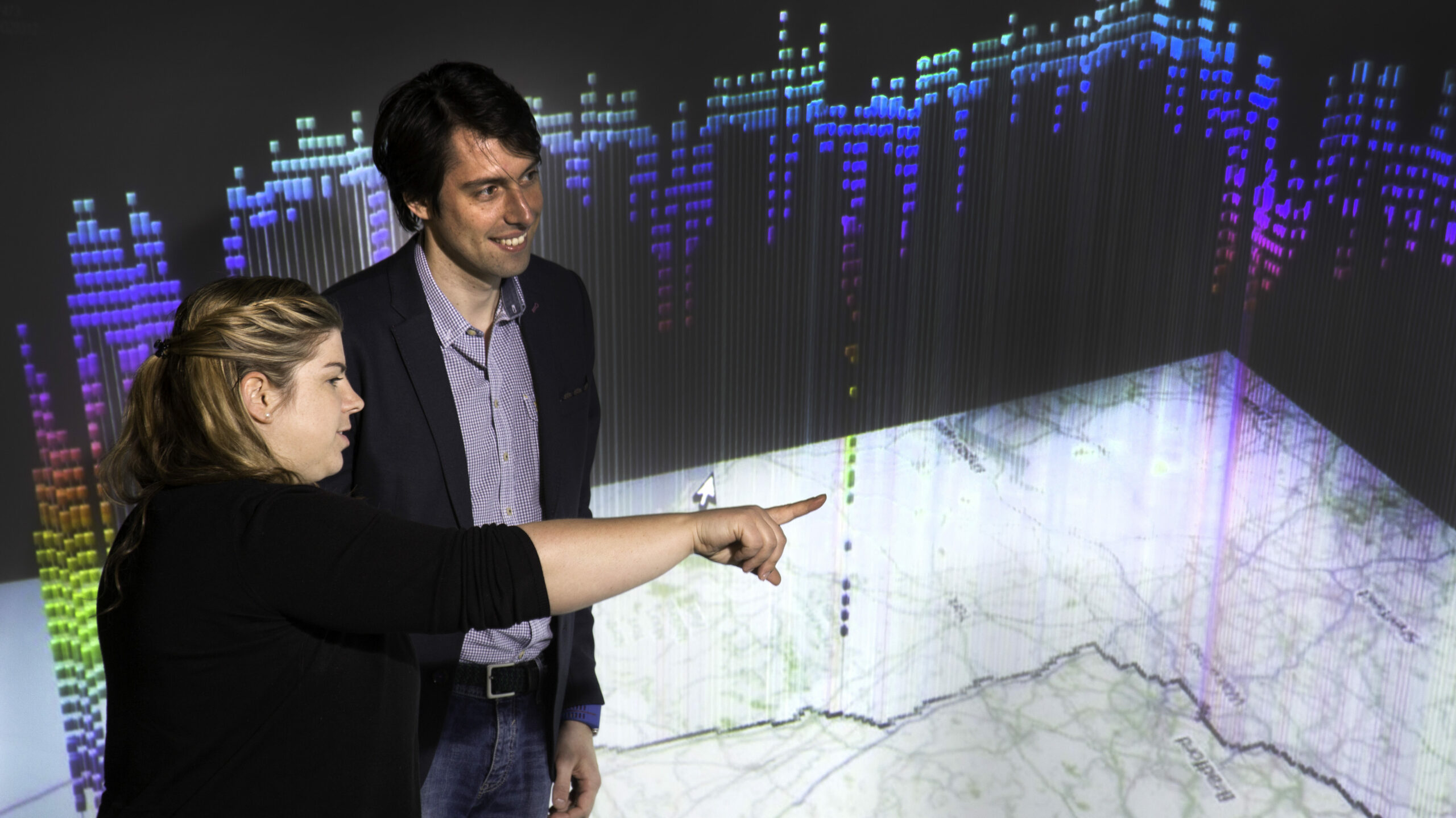
Our Practical Guide to High Performance Computing self-learning course will help you decide on the resources you need to maximise efficiency and value for your business.
Tag: Training

Practical Guide to Internet of Things
Our Practical Guide to Internet of Things self-learning course will give a high-level overview of the Internet of Things (IoT).

Fundamentals of Geospatial Data Analysis using Foundation Models
Are you a geospatial analyst or an expert working in the climate modelling sector? Is your business looking to leverage AI for climate and weather analysis work? In this Independent User level course, you will discover an overview of foundation models, how they are used with climate data how they compare with traditional climate modelling and how to fine-tune a model for geospatial purposes.
This course is CPD accredited

Fundamentals of Data Science Solutions
Our Fundamentals of Data Science Solutions self-learning course will guide you through the best metrics for assessing the performance of machine learning models.

