
Beginner’s Guide to Geospatial Data
Developed in collaboration with IBM Research, UK
Self-Learning Course
Take this course at your own pace through pre-recorded video and online resources.
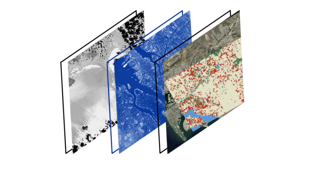
Do you want to learn how geospatial data can benefit your business and help you understand climate risk? In this Introductory level course, you will be introduced to geospatial data and analysis. Starting with the fundamental principles of geospatial data, we will delve into the history and need for geospatial data. We will look at case studies showcasing different uses of geospatial data, for example, within the finance industry, oil/pipeline industry and governments.
Learning outcomes:
- Understand what is meant by geospatial data
- Understand what impacts mass climate events can have on industry
- Understand how geospatial data is used in industry currently
- Gain an insight into the type of datasets available
- Understand the different analysis methods for climate risk
- Explore some case study examples of tools used for analysis
Pre-requisites: None
CPD Accreditation
This course has CPD accreditation and on successful completion of this course, you will achieve CPD hours and be awarded a certificate.
Create a free account to our Training Portal to register for a course and browse all available training courses.
Join Newsletter
Provide your details to receive regular updates from the STFC Hartree Centre.