Our Beginner’s Guide to Artificial Intelligence self-learning course will help you discover AI at your own pace.
This course is CPD accredited

Our Beginner’s Guide to Artificial Intelligence self-learning course will help you discover AI at your own pace.
This course is CPD accredited

Have you always wanted to learn the Python programming language but are not sure how to start? This free self-paced course will take you through the very basics and help you to become familiar with programming concepts and constructs as well as give you the confidence and enthusiasm to start creating your own programs.
This course is CPD accredited

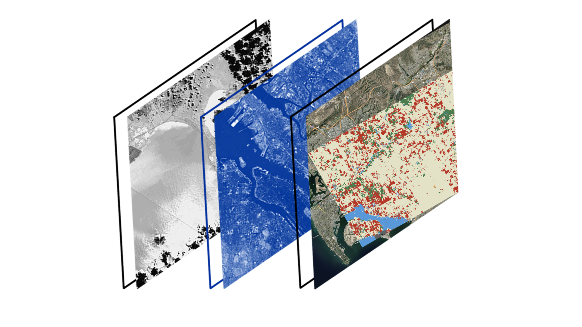
What is Geospatial Data and Analysis? How is it beneficial for my business? What tools are available to help me understand climate risk?
This course is CPD accredited

Would you like to learn how AI can help process and analyse large biological datasets? This free introductory course is perfect for those working in healthcare, agricultural or environmental sectors looking to build foundational knowledge of omics.
This course is CPD accredited