
Harnessing geospatial AI for environmental resilience
STFC Hartree® Centre and IBM collaborated through the Hartree National Centre for Digital Innovation (HNCDI) to detect climate-triggered events and monitor landscape changes in the UK using AI-driven satellite data analysis.
Challenge
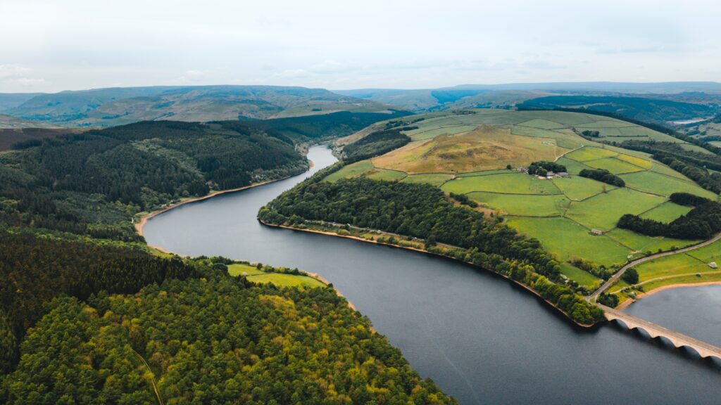
Detecting land surface changes in the UK is invaluable for disaster response and environmental monitoring. In climate-related events such as sudden flooding, the ability to efficiently detect the extent of flood water and identify affected assets would allow us to deliver a faster response and plan more accurately for the future. This is possible through the analysis of complex satellite data – but processing data detailed enough to reveal fine-scale surface features of tens of metres is incredibly challenging due to the immense storage and computing power required. While deep learning automates some of this work, training models from scratch is challenging due to the relatively small amounts of accurate labelled data available. Our team responded to this challenge by leveraging geospatial foundation models for faster, more efficient insight.
Approach
Working with IBM through the Hartree National Centre for Digital Innovation (HNCDI), we developed a specialised geospatial foundation model tailored to the UK’s landscape. Previous IBM geospatial foundation models have focused only on optical imagery, but this limits use of the model for events like flooding, which often coincide with cloudy conditions. This project took the IBM model as a starting point, and then further trained it on UK data comprising of optical imagery and synthetic radar aperture (SAR) imagery, which can see through clouds. This enhanced the ability of the model to detect nation-specific events and landscape changes with greater accuracy and efficiency, irrespective of weather conditions. The newly pre-trained model provides a robust base for subsequent fine-tuning across various applications, such as identifying areas of deforestation or tracking wildfire scars.
Benefits
The UK-optimised geospatial foundation model detects events like flooding more efficiently and flexibly than existing models, potentially enabling better understanding and improved responses to unstable environmental situations. The streamlined training process also widens the scope of applications for which the specialised model can be fine-tuned. Beyond environmental monitoring, this adaptable model opens doors for industry collaborations, offering a powerful, open sourced tool for a range of geospatial challenges. This could include applications for monitoring crop health for improved food security, urban planning for better infrastructure development, identifying optimal sites for renewable energy installation for more efficient clean energy and more.
“The collaboration with the Hartree Centre on this project enabled us to develop a unique, open source “IBM Granite” geospatial foundation model which can be leveraged for a wide range of UK applications.“
Anne Jones, IBM Research
Join Newsletter
Provide your details to receive regular updates from the STFC Hartree Centre.