
Practical Guide to Geospatial Data
Developed in collaboration with IBM Research, UK
Self-Learning Course
Take this course at your own pace through pre-recorded video and online resources.
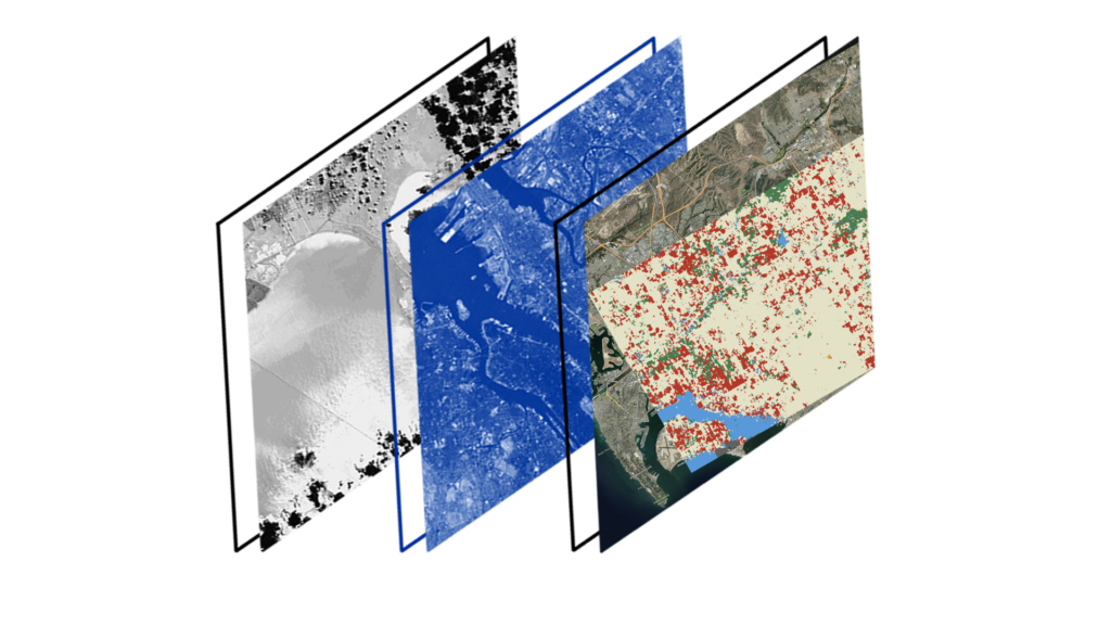
Do you want to learn how to use massive geospatial data (for example weather, climate and satellite data) to provide insightful information for business operations or planning? Do you want to explore how extreme weather and other climate-change induced hazards may affect your organisation? In this course, aimed at Intermediate learners, you will be shown how to use mass geospatial data for model for predicting trends in business operations or planning. Starting with the challenges experienced with today’s tools, we will explore the consequences of these existing technical limitations with a focus on flood events in the UK. Floods are the costliest natural hazard in the UK, with the winter storm season of 2022 causing £500 million in insurance damages. A new solution is needed to effectively manage the risk of flood impact and other climate related challenges.
Learning outcomes:
- understand the challenges with today’s geospatial analytics tools and technologies
- explore the consequences of these current limitations
- undertake an overview and introduction of an example toolkit
- explore geospatial data with a Jupyter notebook
Pre-requisites:
- Prior knowledge of Python.
- Basic understanding of Jupyter notebook,
- You may also wish to complete the Beginner’s Guide to Geospatial Data course.
CPD Accreditation
This course has CPD accreditation and on successful completion of this course, you will achieve CPD hours and be awarded a certificate.
Create a free account to our Training Portal to register for a course and browse all available training courses.
Join Newsletter
Provide your details to receive regular updates from the STFC Hartree Centre.